By LESLEE BASSMAN, Four Points News

Although rain has been in the Austin-area forecast for weeks now, local and state officials assembled May 15 at River Place Country Club to inform residents that the regional danger for wildfires still exists later in the year.
With almost eight years between the wildfire that hit Steiner Ranch and today, residents have become complacent about being proactive to use best practices to minimize the risk of such a disaster, the experts said. Additionally, recent rains have put the threat of a wildfire emergency out of the minds of many citizens, with the added population growth indicating that some newer residents aren’t fully aware of the catastrophe that affected Four Points on Labor Day weekend 2011 when wildfire destroyed 23 homes in Steiner Ranch.
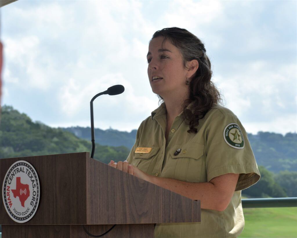
Kari Hines, firewise coordinator for the Texas A&M Forest Service, said the higher than average rainfall the area is experiencing now is predicted to continue through the summer. However, similar to what happened in 2015 and the latter part of last year, Hines said “we are expecting that the El Nino conditions will make it easier for wildfires in Central Texas to burn in our late summer.”

Kari Hines, firewise coordinator for the Texas A&M Forest Service, addresses the the local risk of wildfire during a May 15 media conference at the River Place Country Club. LESLEE BASSMAN
“So, the late growing season—we’re talking about late-July, August, September—we’re predicting wildfires will be able to burn,” she said.
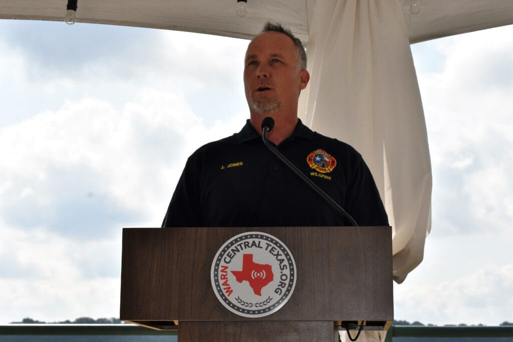
Justice Jones, a wildfire mitigation officer with the Austin Fire Department, said, in Central Texas, “it’s not a matter of ‘if’ but ‘when’ wildfire will strike again.”
“We know, with the amount of precipitation and rain that we received, we have an abundance of vegetation that when drought conditions do return, it will be ripe for a wildfire,” he said.

Justice Jones, a wildfire mitigation officer with the Austin Fire Department, advises Central Texans that “it’s not a matter of ‘if’ but ‘when’ wildfire will strike again.”
Jones advocated homeowners keep debris out of gutters as well as trim their trees to eliminate dead wood and leaf litter around the tree bases and house. He also urged local families to prepare a personal plan for evacuation and sign up for WARN Central Texas, a free public emergency contact system provided by the Capital Area Council of Governments for Central Texas residents, including Travis County. The program allows first responders to send emergency messages to people in specific neighborhoods or streets, which can include evacuation or shelter-in-place instructions. (More information can be found at www.warncentraltexas.org.)
“Simple steps can help protect your home from wildfire,” he said. “We know wildfire will strike again and we want everybody to be able to survive a wildfire.”
Preparing our communities
In 2018, Texas had the highest number of fires of any state in the United States, River Place Firewise Coordinator Randall Jamieson said.
That’s exacerbated by our community’s houses and businesses being intermingled with undeveloped wildland areas of canyons and high ridges — the right conditions for wildfire, he said.
“We know wildfires are increasing in number and also increasing in intensity across the nation,” Jamieson said. “At a time when we’re being told by the experts that the potential for wildfire is increasing, there’s this opposite reaction of complacency in the community.”
River Place is one of the oldest Firewise communities. It is in its eleventh consecutive year of being certified by the national program that teaches people how to adapt to living with wildfire and encourages neighbors to work together and take action now to prevent a future catastrophe, Jamieson said.
The group has encouraged River Place residents to take advantage of all resources available to them, become better knowledgeable about wildfire safety, and develop practical mitigation strategies, including finding firebreaks — such as a golf course — as a wildfire safe haven, he said.
River Place Country Club shelter
Travis County Fire Safety Outreach Coordinator Will Boettner, Jones and Jamieson teamed up with the River Place Homeowners Association and River Place Country Club to agree that, in the event of a wildfire, the club’s superintendent of greens will turn the fairway sprinklers on “to create a water wall” that will act as a fire break,” Jamieson said.
The group recently ran tabletop simulations to determine what effect a wildfire would have on the community, he said. When the simulated fire started at the point where the two trails come together on the bottom of Big View, fires spread out on both the left and right sides of River Place Boulevard, Jamieson said. In an hour, the simulation showed both the north and south ends of River Place Boulevard were blocked by fire, he said.
“So that meant anybody who was in River Place (for) over an hour would be blocked into the community,” Jamieson said.
However, the clubhouse and greens area were untouched by the simulation, with the fire running completely around the center of River Place, he said.
“So we figured out and have started to develop mitigation strategies to use an asset that’s in the center of our community that can be life-saving,” Jamieson said.
In a separate assessment with Boettner, Jamieson found that the entire clubhouse and grounds can serve as a shelter-in-place, or safe refuge, to the community in a wildfire event.
“So simple things about your community and various assets that you have in your community—to consider them as opportunities to make your community safer,” Jamieson said.
Jamieson said a lot of residents that live in the Four Points area weren’t in the area in 2011 so they don’t have the experience of what the wildfire situation was like.
Hines agrees.
“It’s really easy to forget how bad (a wildfire) can be (and) it’s also easy to think it’s not going to happen to you again,” Hines said. “Both with the number of people who are coming in every day who do not come from an area that is exposed to wildfire and even the people who have been here forever but forget how bad it can be, it’s very easy to forget.”


