By LYNETTE HAALAND ,Four Points News
On Sept. 4, 2011, wildfire was reported moving toward Steiner Ranch at 3:58 p.m.
A few minutes earlier on that Sunday afternoon, electrical lines along RM 620 near Mansfield Drive “had enough slack to slap and arc, causing molten metal to fall onto combustible grass,” according to the then Travis County Fire Marshal Hershel Lee.
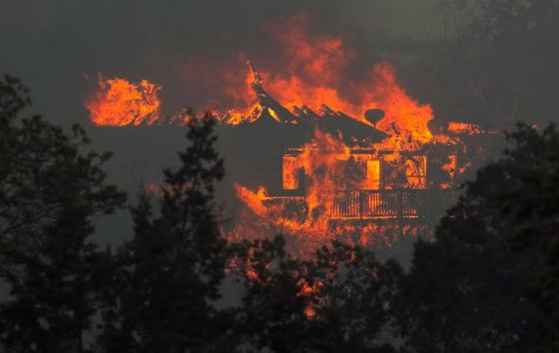
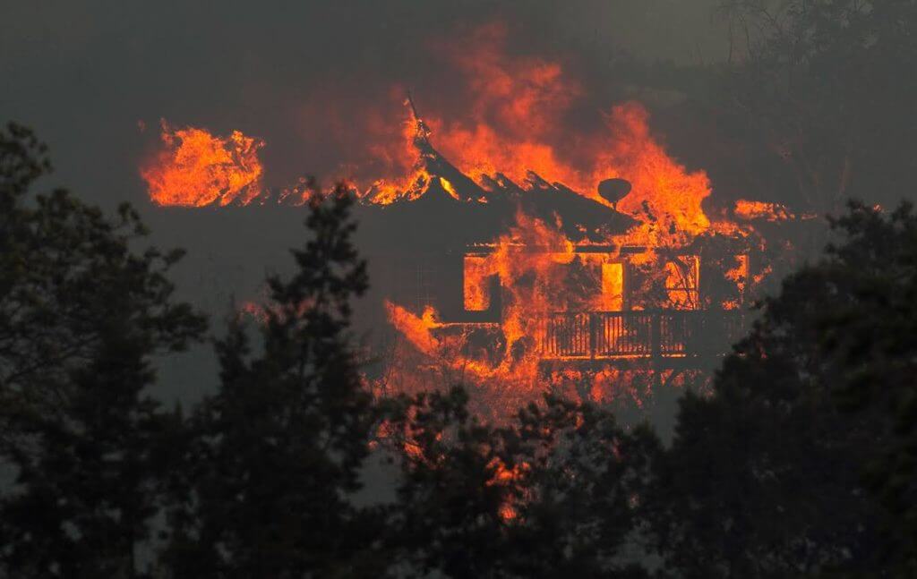
The fire, which started on an undeveloped residential lot, was carried by embers across RM 620, igniting dry vegetation and moving into the Steiner Ranch subdivision. Within hours, the fires destroyed 23 homes.
The Travis County Fire Marshal’s Office Fire Investigative Team studied the area for months, analyzing burn patterns, taking witness statements, watching video footage and conducting site visits.
The official cause of the initial fire was released 14 months later: electrical lines came into contact with one another, arced, ignited grass and spread by high winds.
“The exceptional drought, low humidity and high winds and temperature combined to create conditions that were ripe for fire ignition,” explained Lee in November of 2012.
That scenario has been called “the perfect storm”.
Robert Abbott remembers that Labor Day weekend. He was assistant fire chief then of the Lake Travis Fire Rescue Travis County Emergency Services District No. 6.
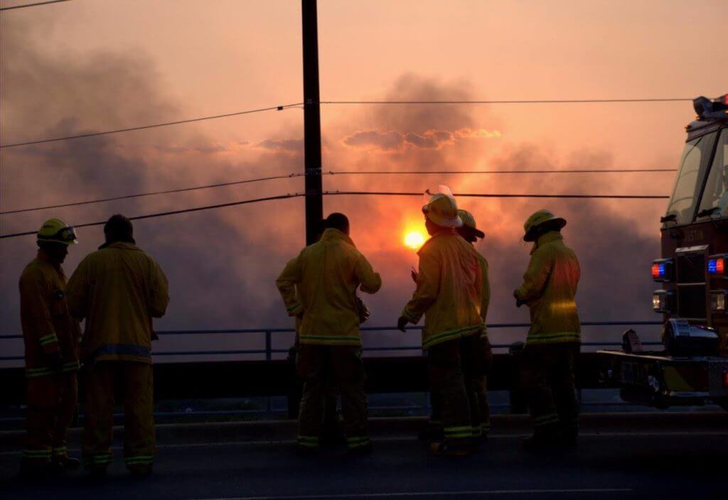
Steiner’s fire was one of six that were burning in Travis County on Sept. 4, 2011. Resources from all fire departments were stretched to their limits.
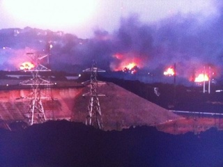
“In general we learned a lot,” said Abbott, who is now LTFR fire chief. “During the 2011 fires, some things we did well, that others validated we did well… like we kept our head about us regarding what was presented to us.”
In 2009 and 2010, Abbott remembers that previous LTFR chief Jim Linardos warned the area that he could see evidence of a “California-level fire”. Linardos, who came to LTFR in 2006 from North Lake Tahoe, had experience fighting fires there with similar terrain.
“There had been data to indicate that we were prime for something like (the Sept. 2011 fires),” Abbott said. “There was a historic drought with over 100 days of 100 degrees or hotter… dry weather, low humidity, and wind matched with anything that would cause a spark.”
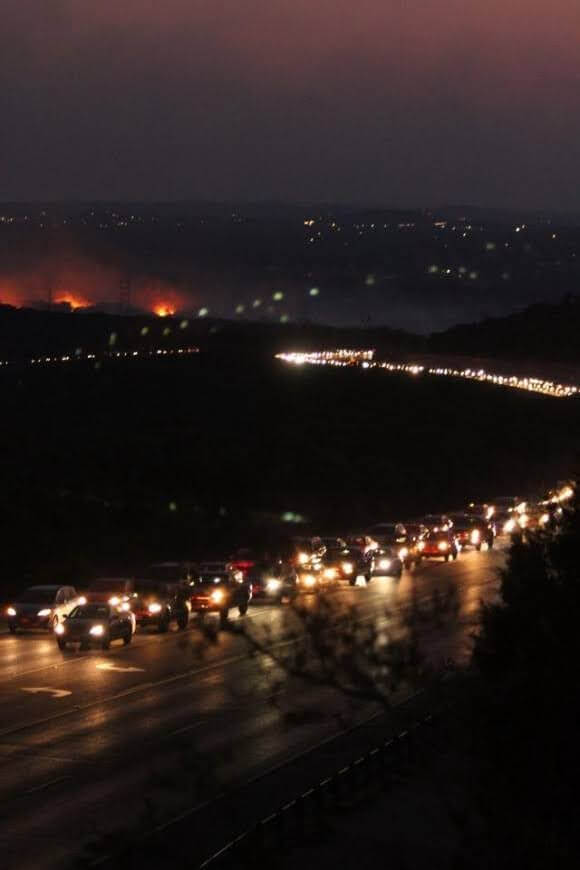
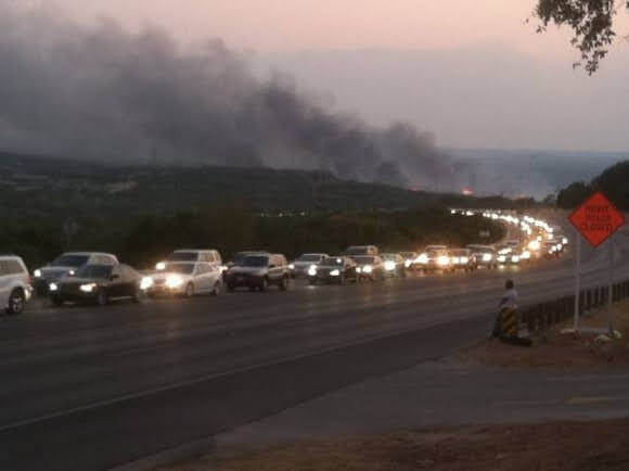
The entire Steiner Ranch community was evacuated which caused hours and hours of major back ups and bumper to bumper traffic leaving the area on RM 620 north, opposite of where the fire started.
Officials realized the evacuation was poor and since then have worked on several initiatives that could help things run better in a disaster.
Improvements
One major thing, Travis County approved adding a new, emergency-only road in July 2019. Route B will connect Flat Top Ranch Road to Montview Drive between the Steiner and adjacent Montview communities. The $650,000 roadway is in the design phase and is to start construction later this year.
“We support it (the emergency road) in any way. We support any additional way in and out,” Abbott said.
Another thing that the county has been involved in is identifying shelter-in-place sites and never expects to evacuate an entire community again. It is one of the things the Fire Marshal’s Office has been doing, said Travis County Commissioner Brigid Shea, Precinct 2.
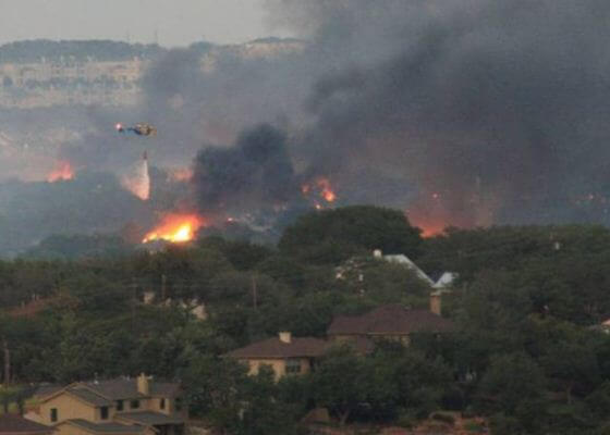
“People won’t all need to evacuate,” Shea said. “We’re paying more attention to these shelter-in-place locations. VHS, that’s where you’d want people to evacuate to because there’s not much flammable material around the buildings.”
Since the 2011 fires, the county now has better mapping tools to find exact locations. Another tool officials will use in future emergency situations is contra-flow evacuation by making all lanes of traffic go the same direction.
Also officials have set up traffic controls and traffic management better.
“They do drills and scenarios playing out traffic management for the purpose of evacuation as part of disaster preparedness,” Shea said.
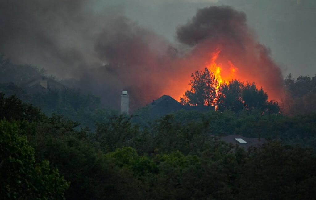
Today there is a much more effective emergency communications across the region with Warn Central Texas. Shea advocated for this better emergency notification system.
Shea was also instrumental in working with the Comanche Trail community on hosting a fire drill on March 2, 2019. It took more than a year to plan for the three-hour evacuation. This helped the community prepare for and train for a real emergency, she said.
“It was 80% driven by the community, we (LTFR) did the other 20%,” Abbott said.
“We have learned a lot from the Steiner Ranch fires,” Shea added.
How would the Steiner wildfire be handled today?
Four Points News asked Robert Abbott, Lake Travis Fire Rescue
fire chief, how his fire department and Travis County would handle a wildfire situation like the Labor Day weekend fires of 2011, if it were to happen today. Here is the Q&A:

- How would the wildfire be assessed?
Any incident would be assessed based on the type of incident, time of day, the severity of the incident, and the potential for expansion, weather, the community’s immediate needs, and available resources to handle the logistics of the situation.
- What would the strategy be on evacuation?
An evacuation strategy would be based on the type of incident; a hazard chemical release vs. a wildfire vs. a flood all have different approaches and safety issues with ordering an evacuation. Additional options such as phases or specific sections of evacuation may be more appropriate vs. evacuating the entire community.
Additionally, concepts of shelter in place vs. leaving the area would also be examined. The first step in planning for an evacuation is preparing the community to “Ready, Set, Go” and prepared with the necessary supplies should the evacuation come at a time when they least expect it.
LTFR offers free training on preparing for evacuation and what the community can do to prepare their homes to shelter in place.
- What would the strategy be on combating the fire?
In a wildland fire situation, it is always focused on slowing or extinguishing the fire’s head. The direction of travel the fire takes can change very quickly based on weather and topography.
- What tools are in place today that were not in 2011 to inform the public?
WarnCentralTexas.org is now very robust and has been proven to be a great tool for public notification. LTFR highly recommends all residents visit the site and set up a simple free account. Official information and directions to your specific area will be sent directly to you. Not just for wildfires – any public threat or concern in your immediate area that rises to the need for public notification is sent through this system.
LTFR improves firefighting, preparedness
Since 2011, Lake Travis Fire Rescue Emergency Services District No. 6 has implemented several key initiatives to help fight fires more strategically, to use the latest techniques, and to educate the community more about fire.
Today LTFR is better able to handle a wildfire emergency like the Steiner Ranch fires nine years ago this month.
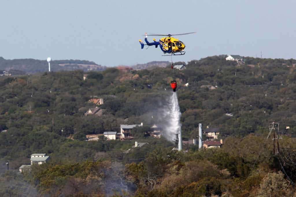
LTFR fire chief Robert Abbott said, “LTFR has learned a great deal from the 2011 wildfires and since has implemented the following:”
- Enhanced the training and resource response through the Austin/Travis County Fire Automatic Aid Agreement which assigns the closest fire unit to emergencies greatly reducing response times (2011)
- Increased participation in the Texas Intrastate Mutual Aid System. This program increases the available fire resources throughout the state of Texas. (2011)
- A full-time fuel mitigation program focused on reducing the available fuel load (vegetation) in a prescribed and environmentally sensitive manner following the U.S. Fish and Wildlife protocols. (2012)
- Increased staffing levels to a minimum of four personnel per station 24/7. (2014)
- A full-time wildfire specialist position focused on community education and home risk reduction programs. LTFR offers free home risk assessments and can be scheduled by Chris Rea at crea@ltfr.org. (2016)
- The Community Emergency Preparedness Series which include three 2-hour sessions of training tailored to a community’s specific needs relating to emergency training (“Stop the Bleed” bleeding control, fire extinguisher operation, CPR, etc.), evacuate and shelter-in-place planning, and home risk reduction programming (2019)
